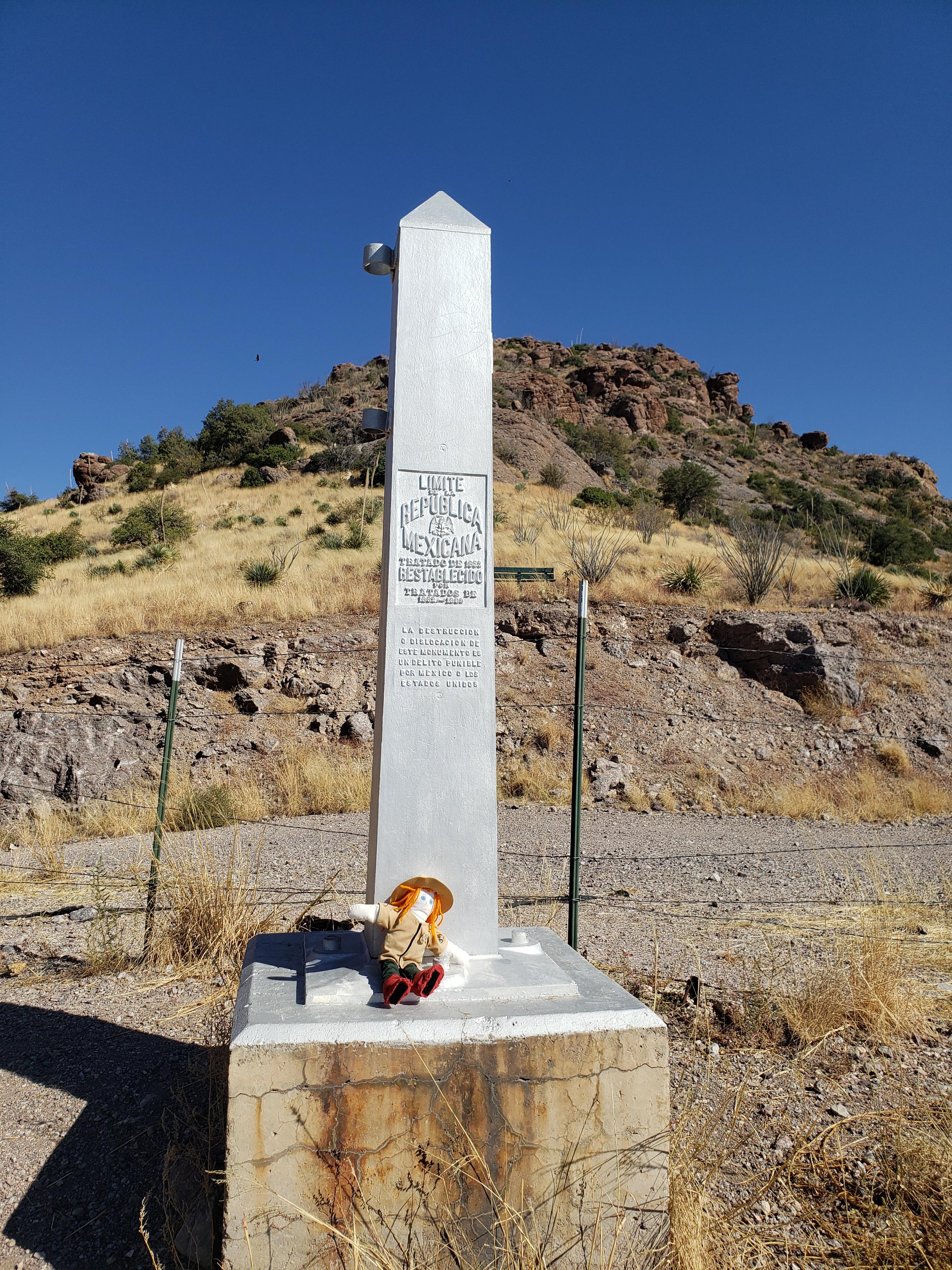
Ranger Sarah is in Mexico. She sits at the border monument on the Mexican side
— at Coronado National Memorial.

Ranger Sarah is in Mexico. She sits at the border monument on the Mexican side
— at Coronado National Memorial.
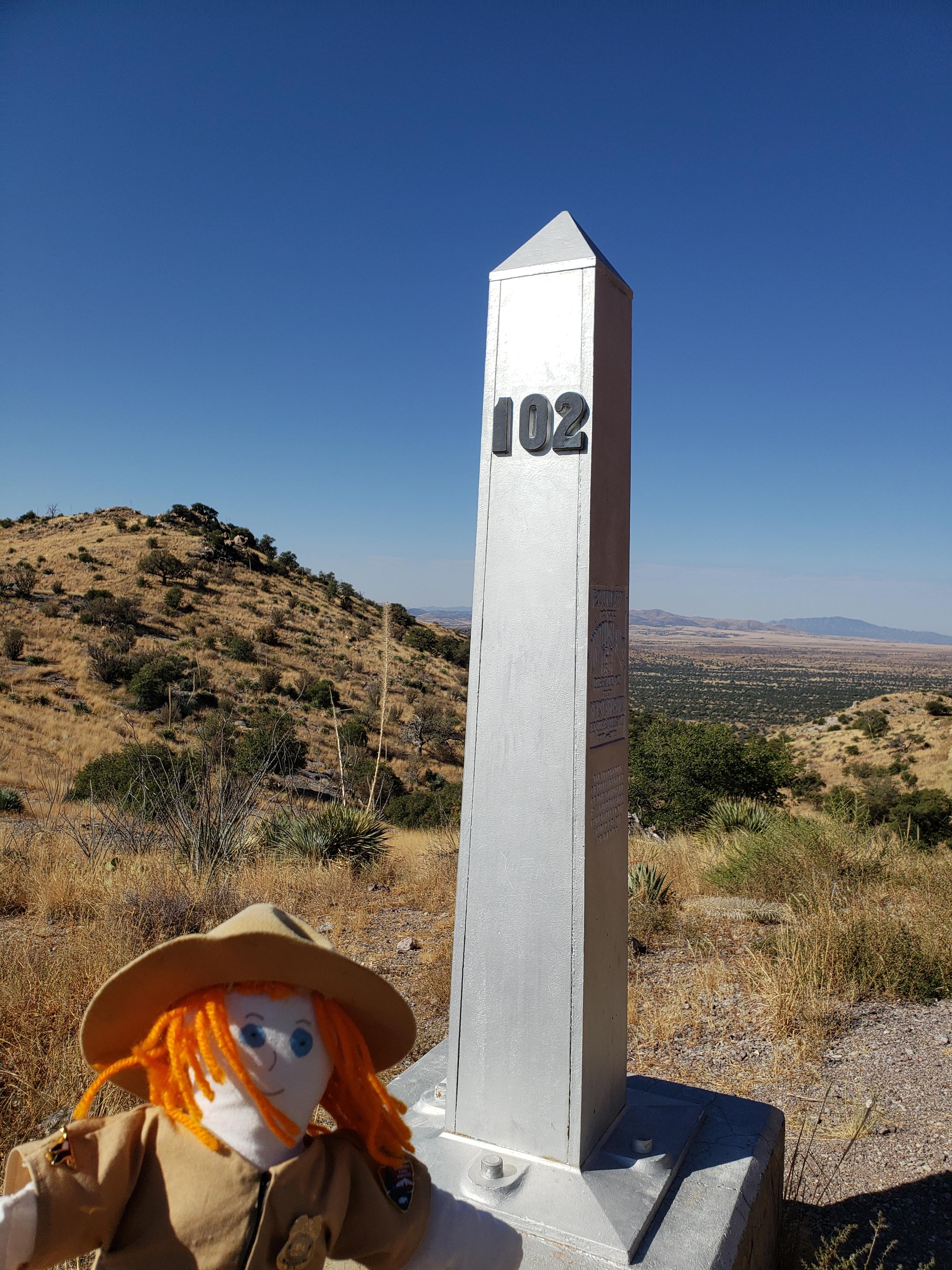
Ranger Sarah at US/Mexico border monument number 102. Standing her she is in both countries at the same time.
— at Coronado National Memorial.
Ranger Sarah hikes along the Joe's Canyon Trail. This part of the trail is also the Arizona Trail.
— at Coronado National Memorial.
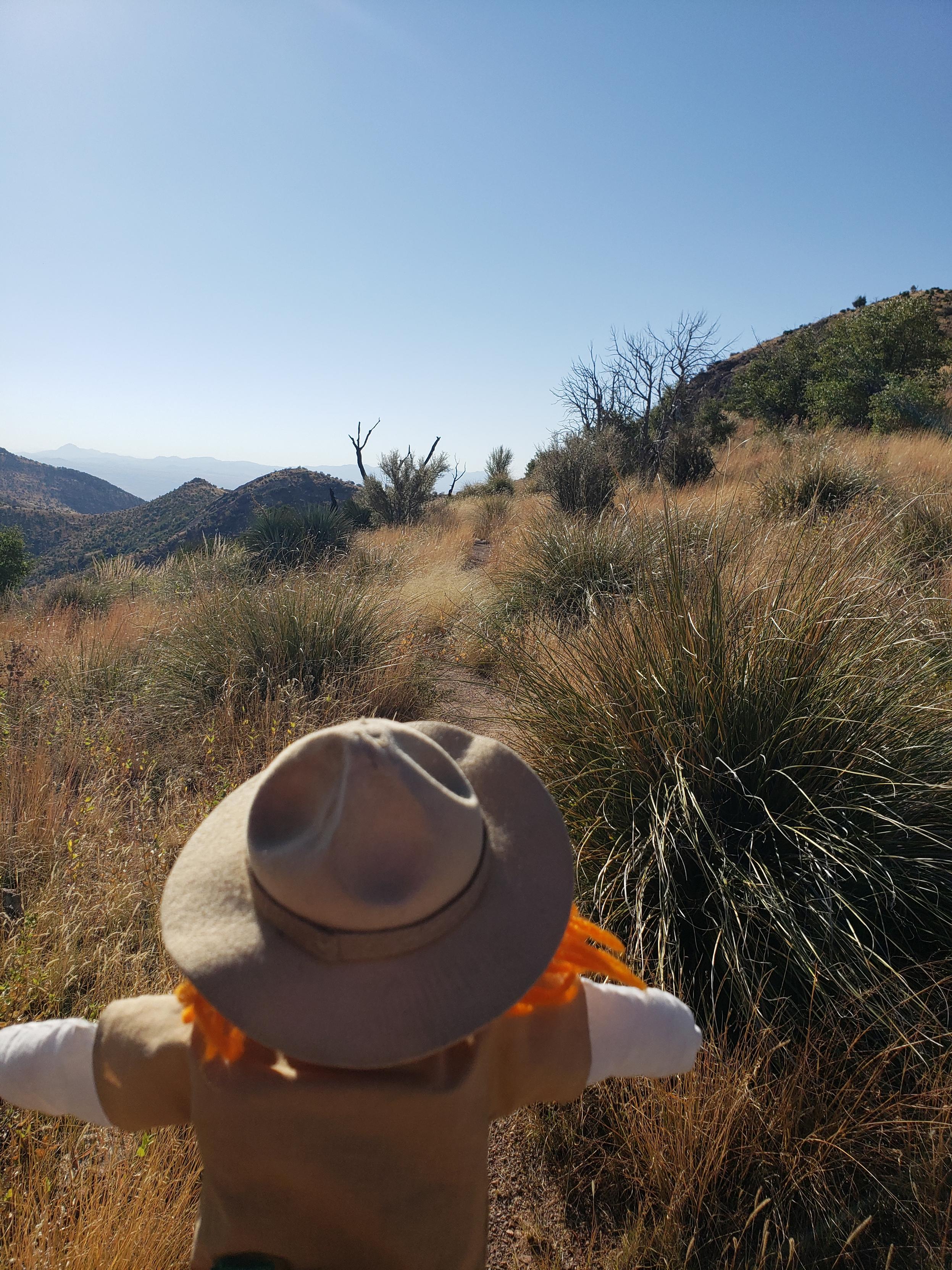
Ranger Sarah climbs up the Coronado Trail.
— at Coronado National Memorial. Arizona

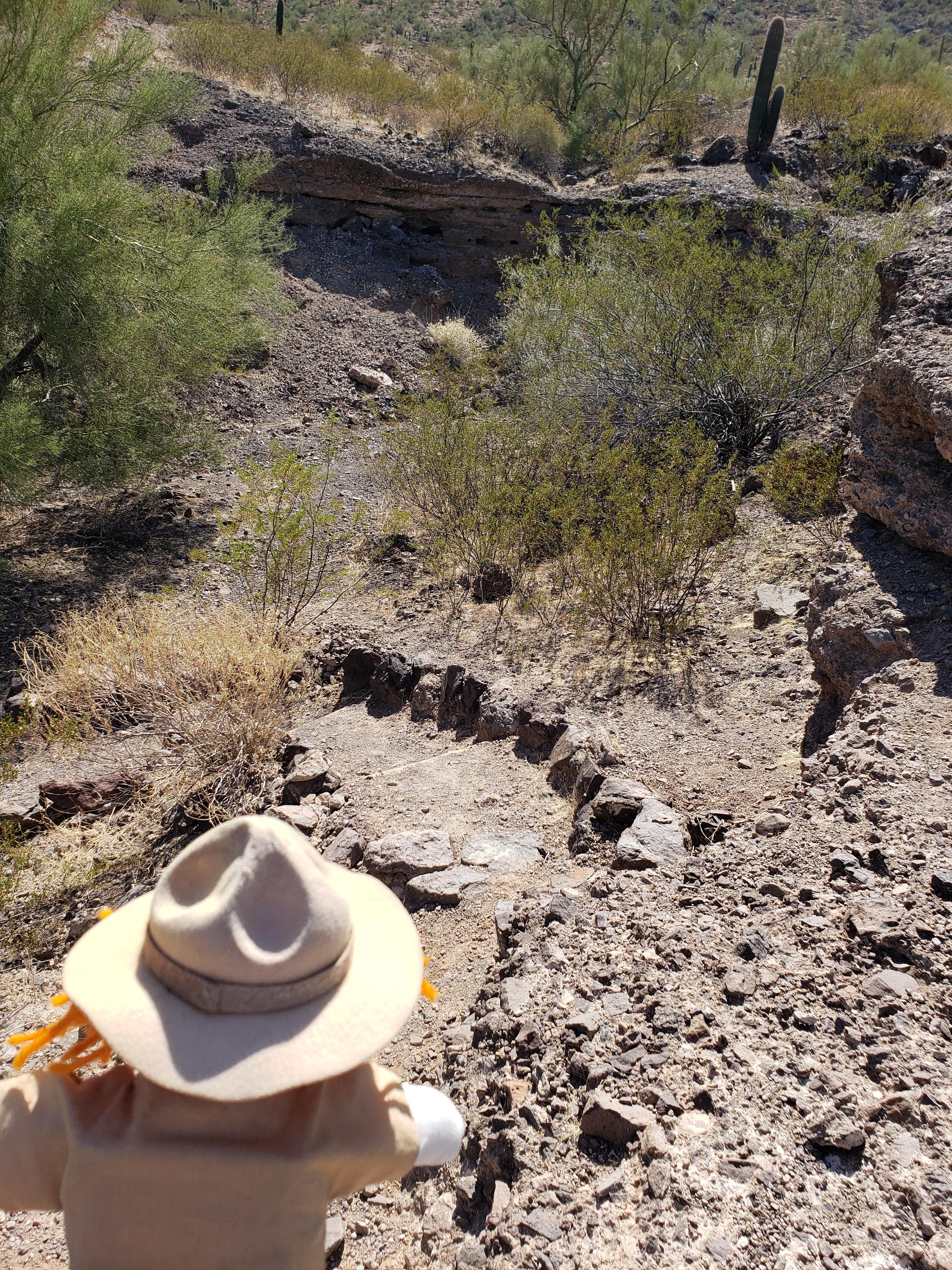
Ranger Sarah reads up on the Coronado Peak Trail. While she is not hiking up Coronado Peak, she is starting down the trail to reach another trail on her hike to the US/Mexico border.
— at Coronado National Memorial. Arizona

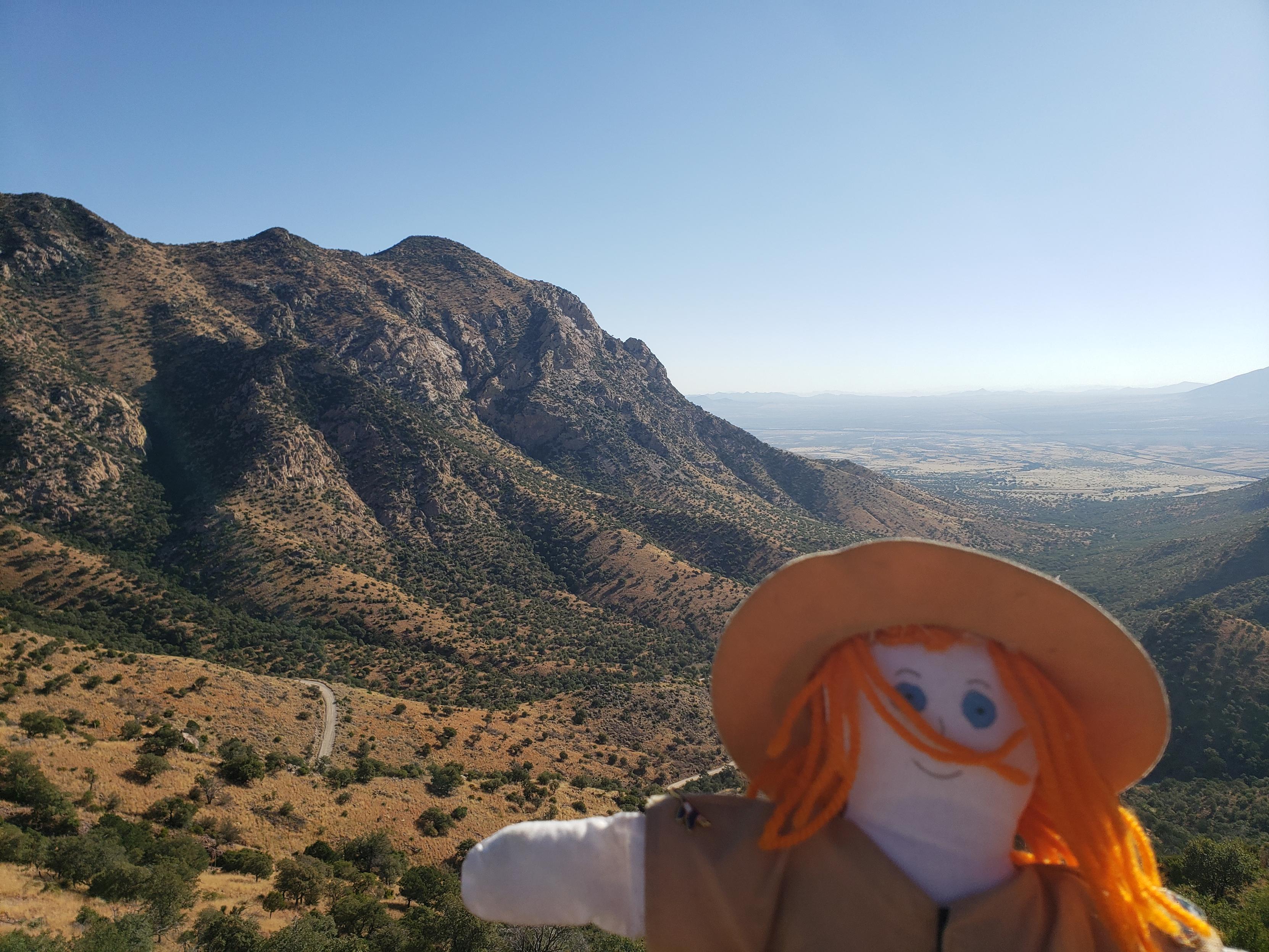
Ranger Sarah looks back at her route to Montezuma Pass. Down at the bottom somewhere is the visitor center.
— at Coronado National Memorial.
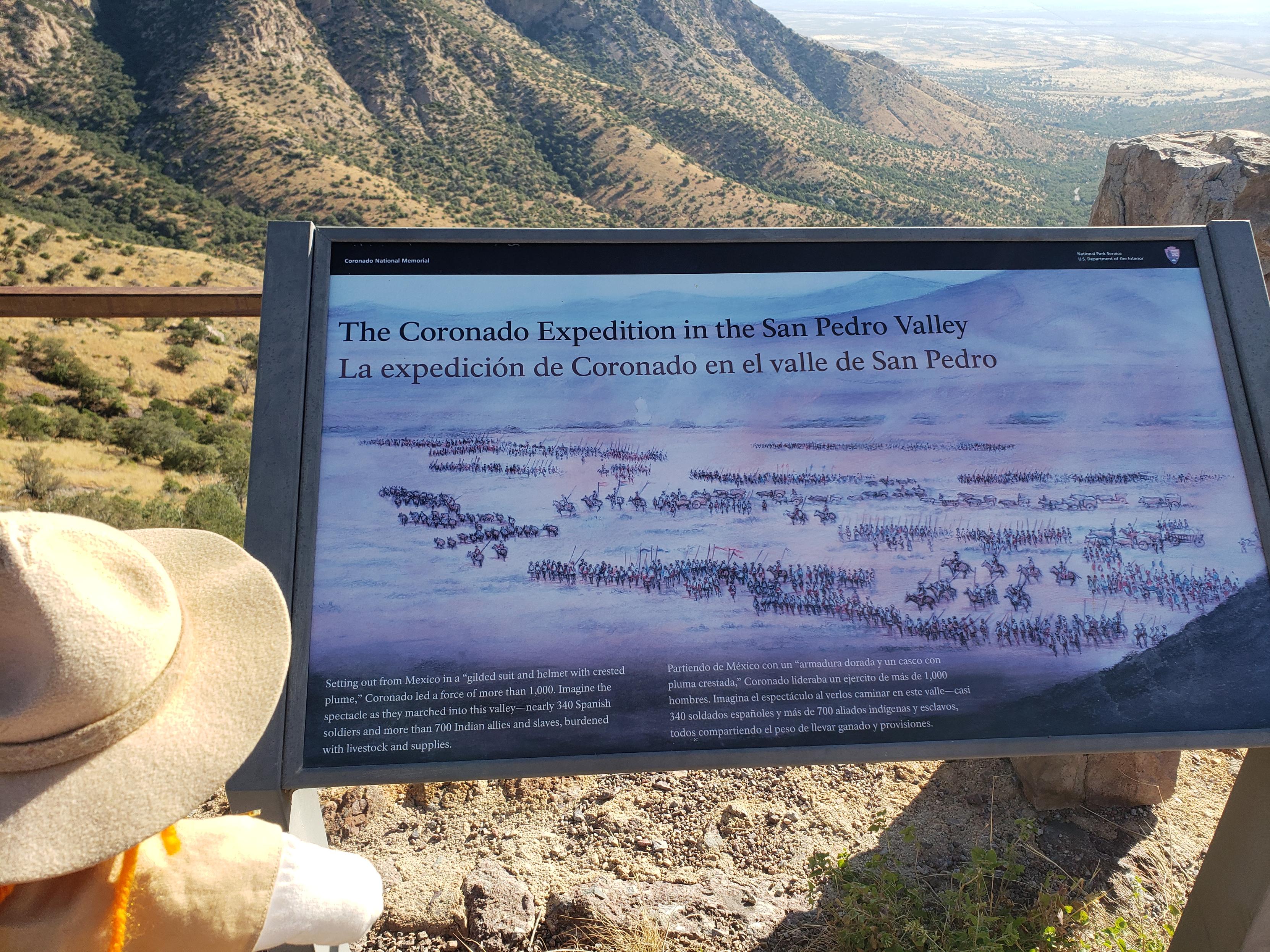
Ranger Sarah reads about The Coronado Expedition in t he San Pedro Valley.
— at Coronado National Memorial.
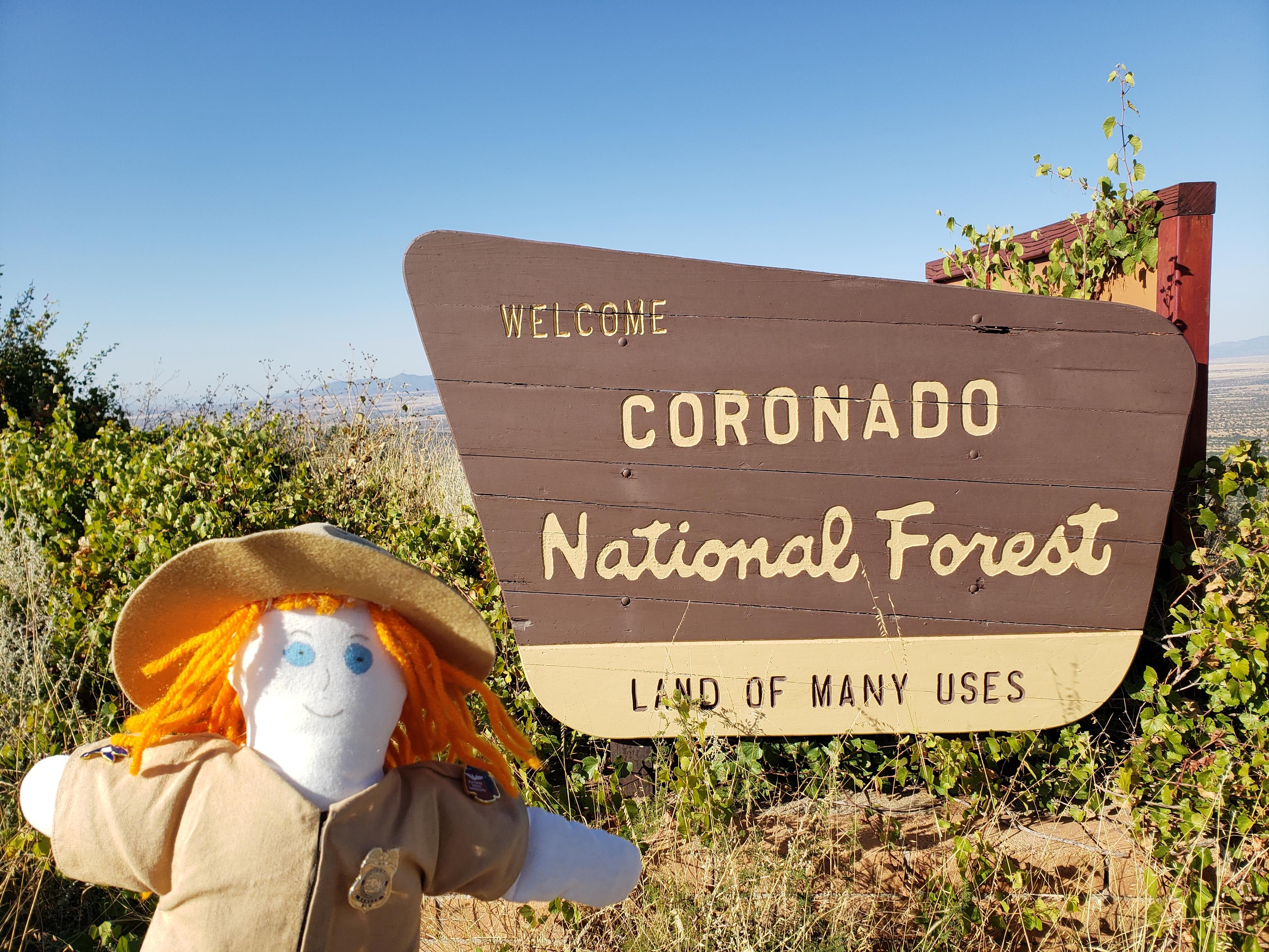
Ranger Sarah at the Coronado National Forest sign located on Montezuma Pass.
— at Coronado National Memorial.
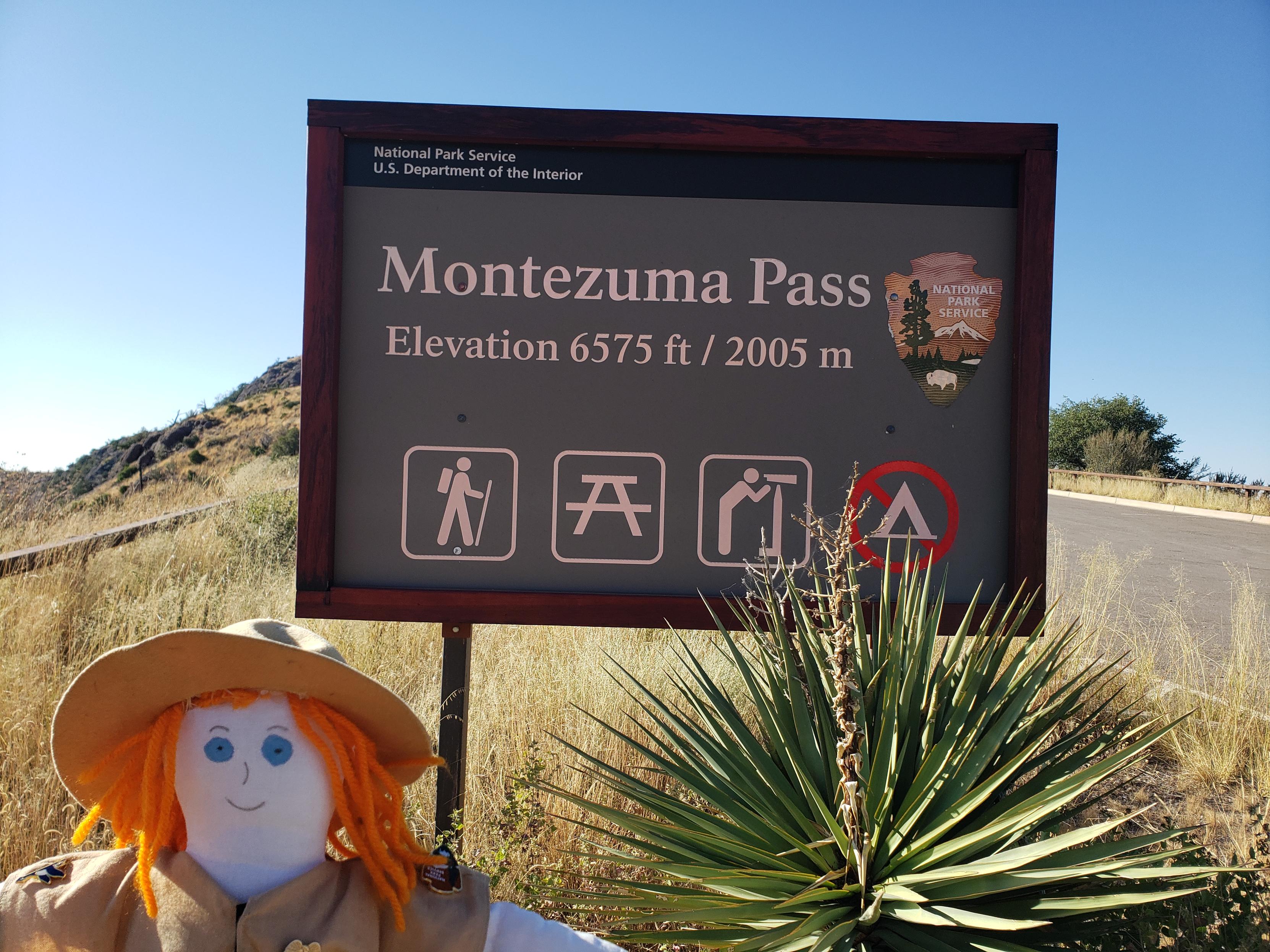
Ranger Sarah is at the 6575 ft Monezuma Pass. Ranger Sarah plans on hiking the Coronado Trail to the Joe's Canyon Trail, following it to the Yaqui Ridge Trail the down to the US/Mexico Border. This hike is part of the Arizona Trail, and it will take Ranger Sarah to the terminus at the US/Mexico border and International Boundary Marker 102. It will be a 4 mile round trip.
—Coronado National Memorial.
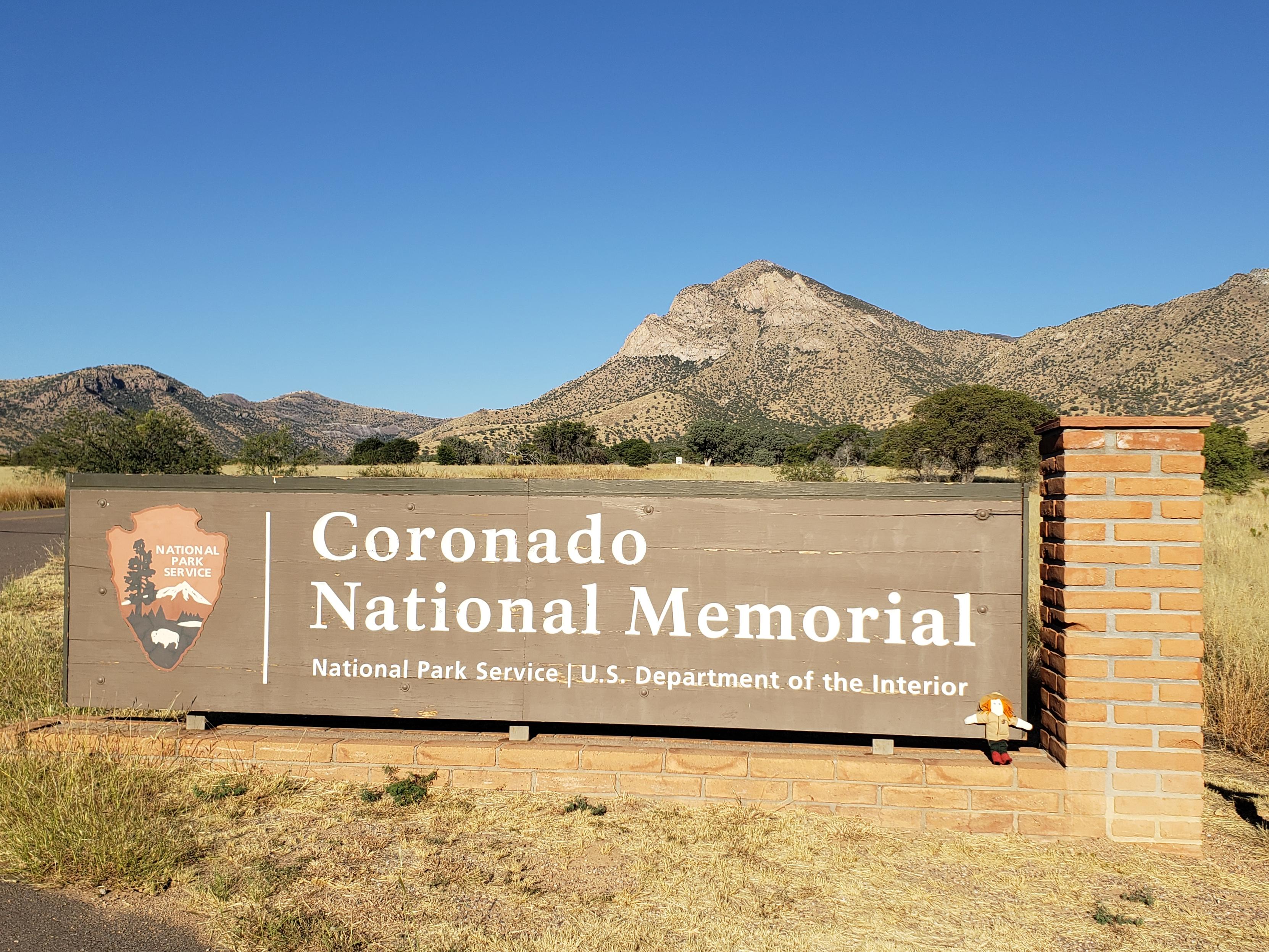
Ranger Sarah has arrived in Coronado National Memorial in Southern Arizona.
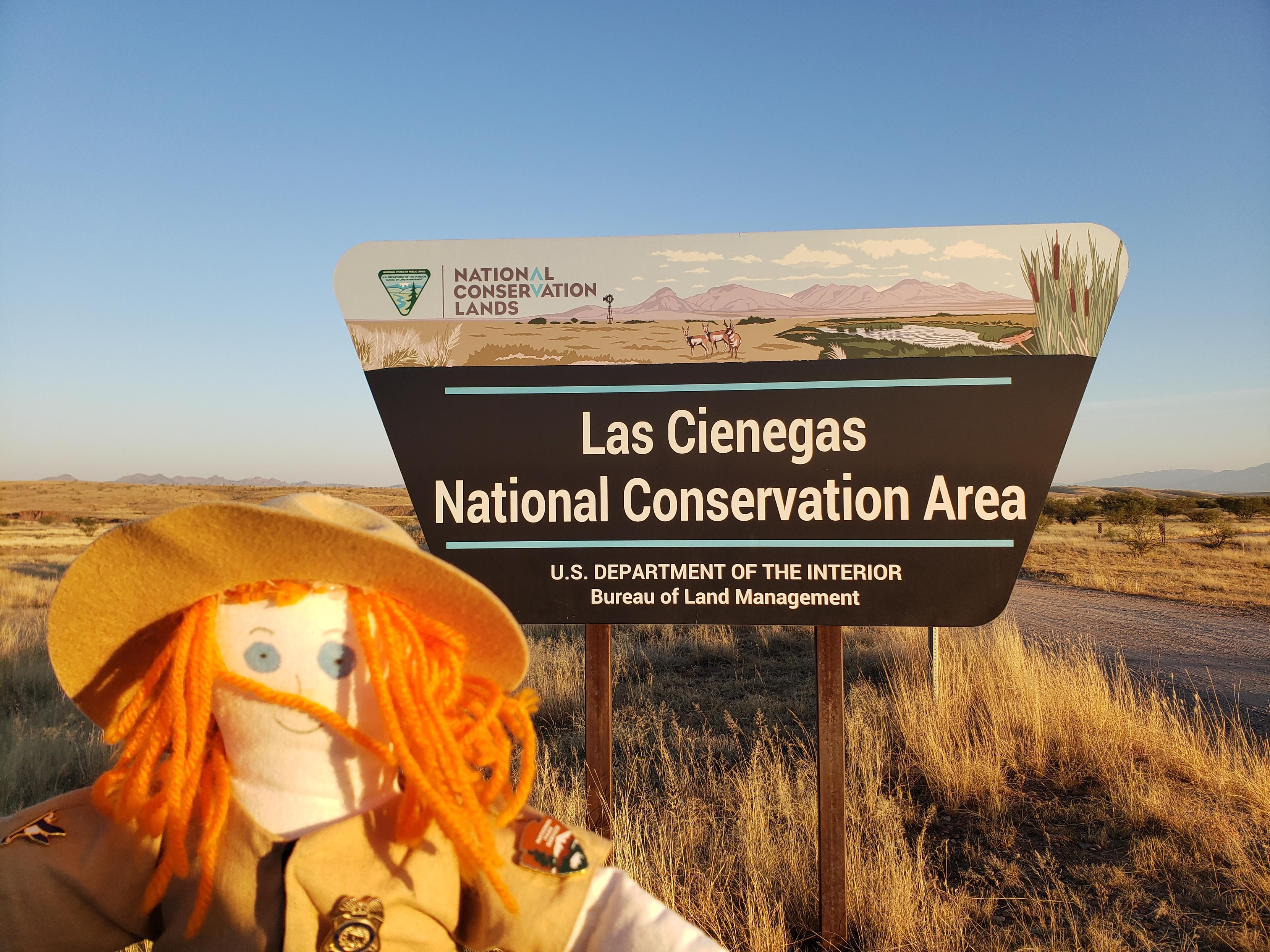
Ranger Sarah stops at Las Cienegas National Conservation Area. She is dispersed camping for the night. A big shout out to BLM and Local fire crews for putting out the wildfire just before Ranger Sarah arrived. After talking with fire crews and BLM Law Enforcement, Ranger Sarah was cleared to camp in the area. Ranger Sarah discovered as she was driving to her next location that the fire started at a spot along the main highway.
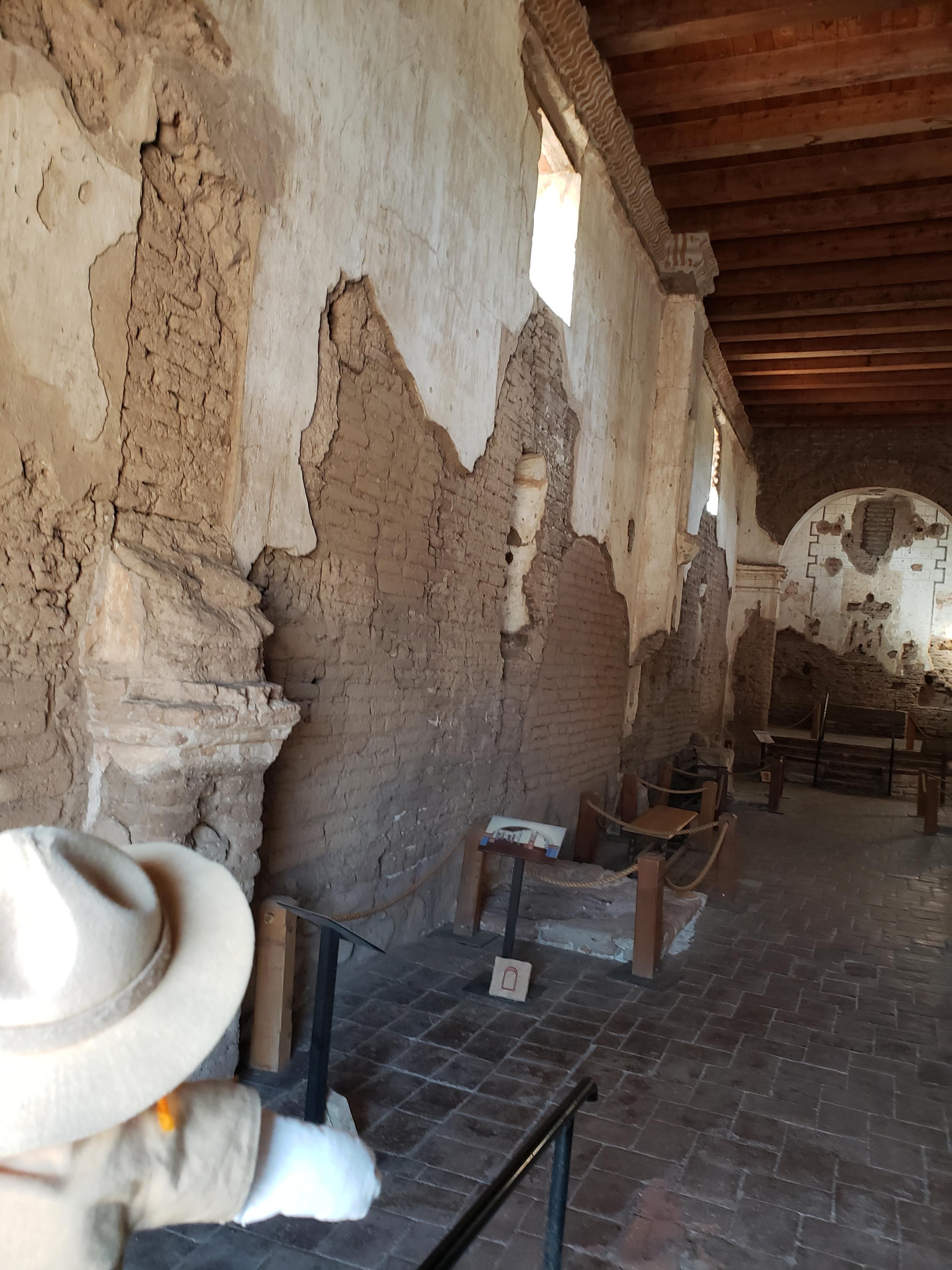
Ranger Sarah stands in the Nave. There were no pews or side chapels; the church is in the form of a long hall. Lining the walls are four side altars where devotional candles could be placed. Statues of saints stood in the niches above. After its abandonment in 1848, the roof was removed and local settlers re-used the timbers.
— at Tumacácori National Historical Park.
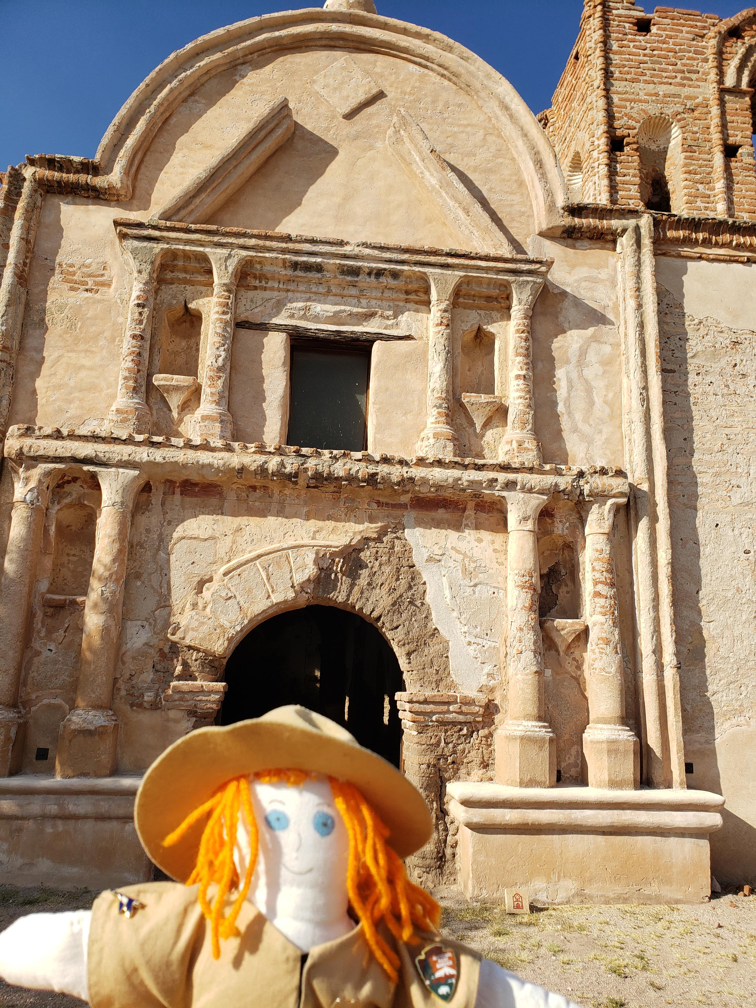
Ranger Sarah at the front of the church. The front of the church was originally painted with bright colors. The columns were painted red and the Egyptian-style capitals yellow with black markings. The statue niches were blue.
—Tumacácori NHP
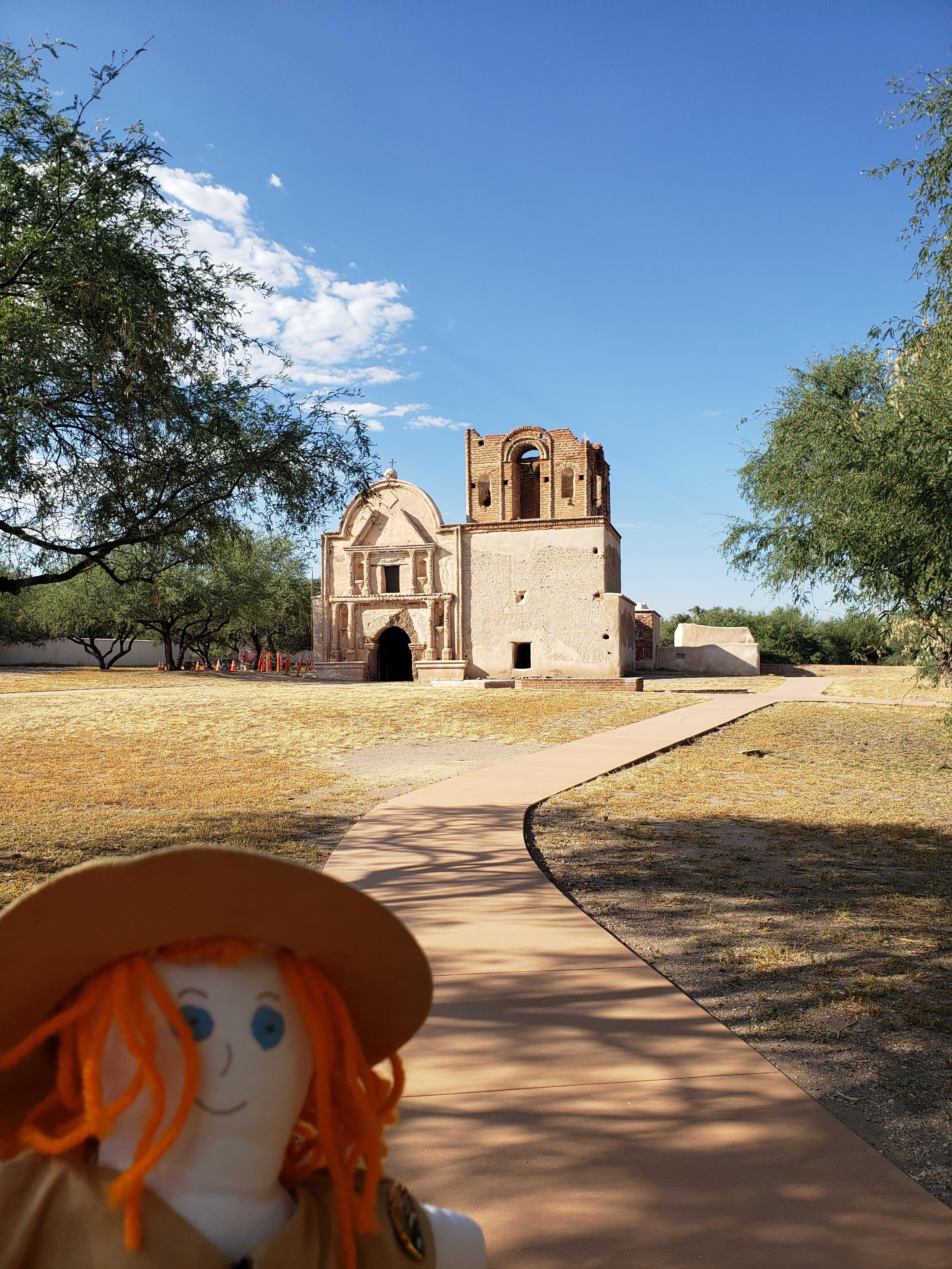
Ranger Sarah gets her first view of the Mission Church at Tumacacori.
— at Tumacácori National Historical Park, Arizona
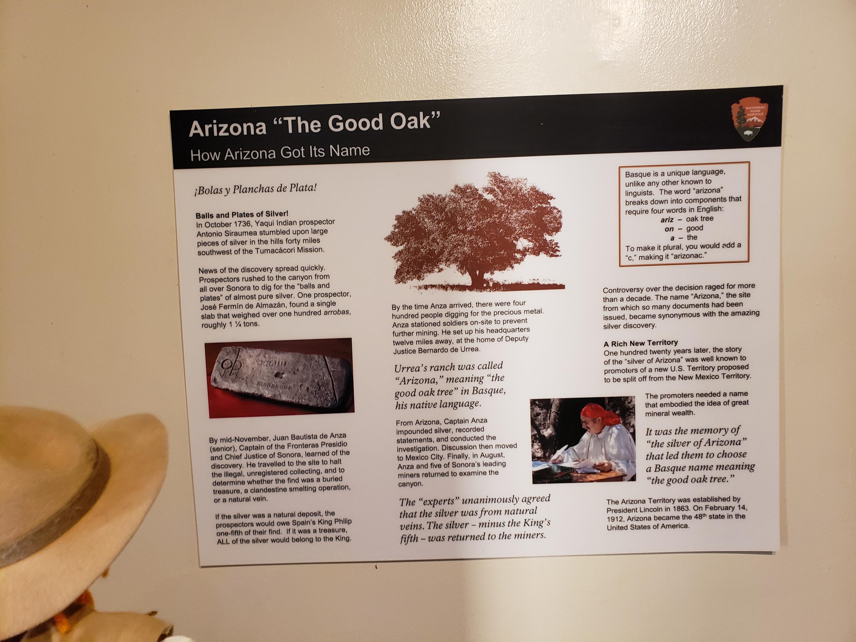
Ranger Sarah learns about the finding of pure silver near Tumacocori and how Arizona got its name. Arizona "The Good Oak". In Basque Arizona breaks down to ariz=Oak Tree, on=Good, a=the.
— at Tumacácori National Historical Park.
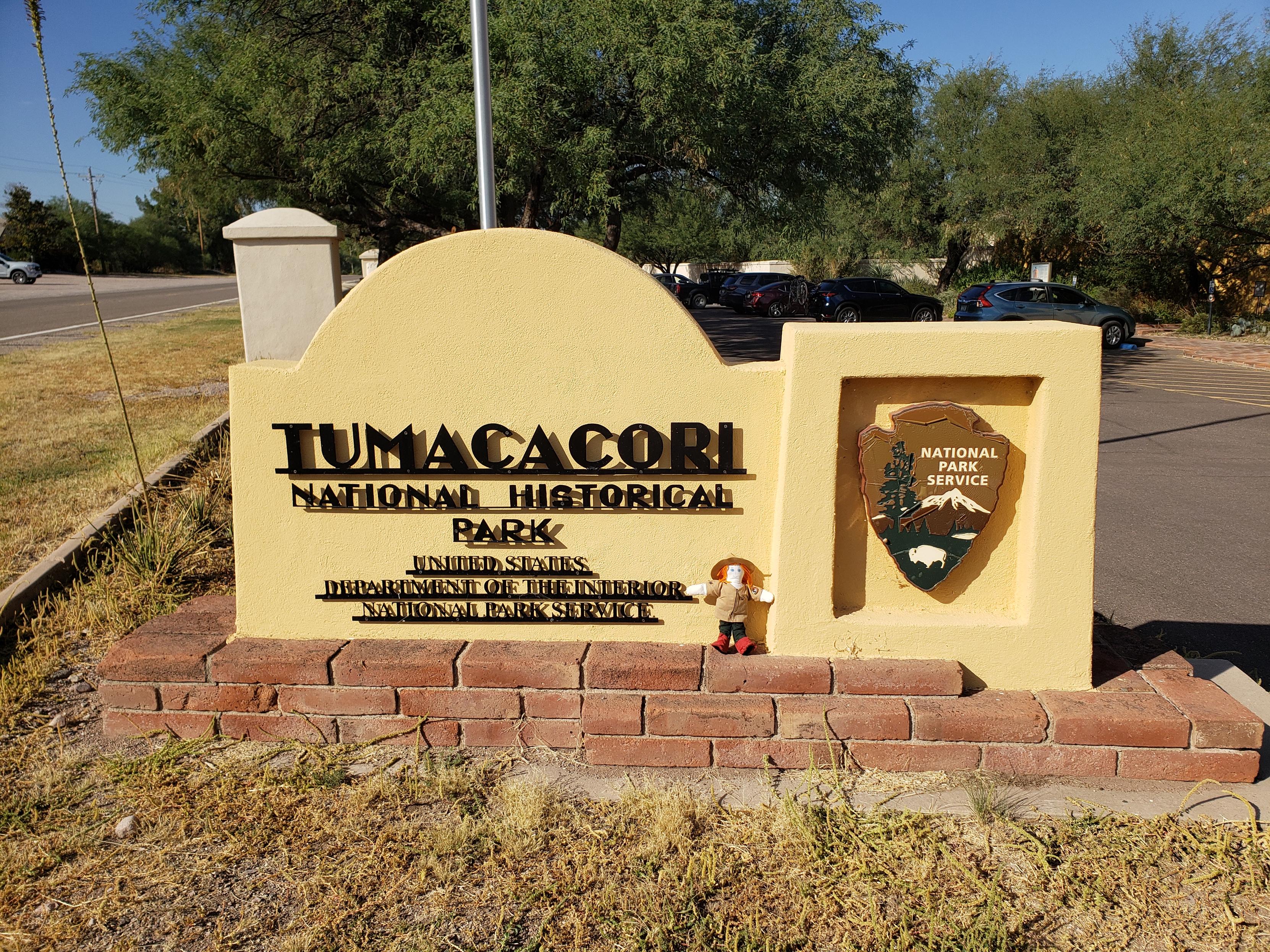
Ranger Sarah has arrived at Tumacocori National Historical Park in Arizona.
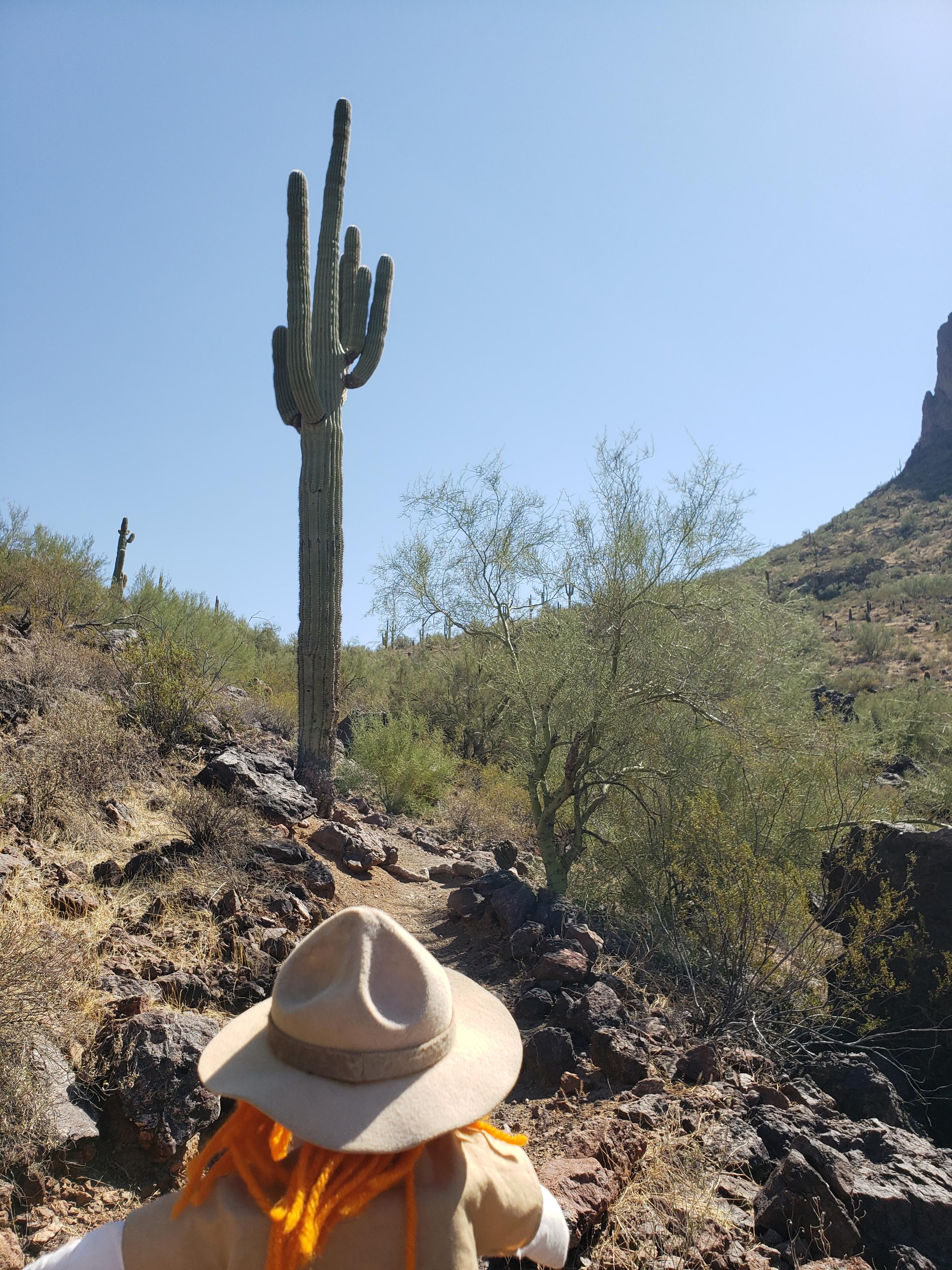
Ranger Sarah hikes towards a very tall Saguaro as she hikes the Calloway Trail.
— at Picacho Peak State Park, Arizona.
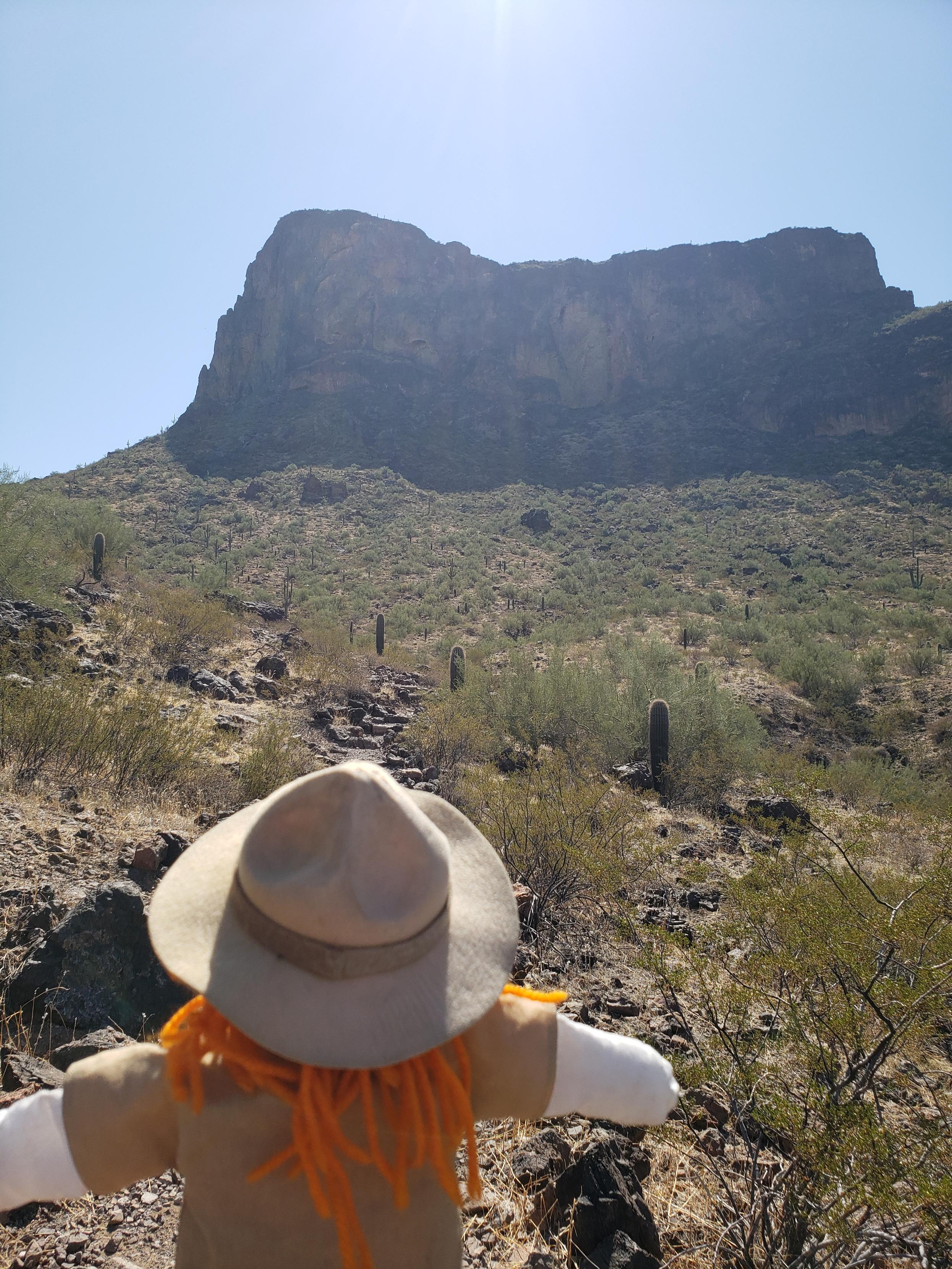
Ranger Sarah looks at Picacho Peak. Picacho means peak in spanish, which means Picacho Peak translates to "Peak Peak".
— at Picacho Peak State Park, Arizona
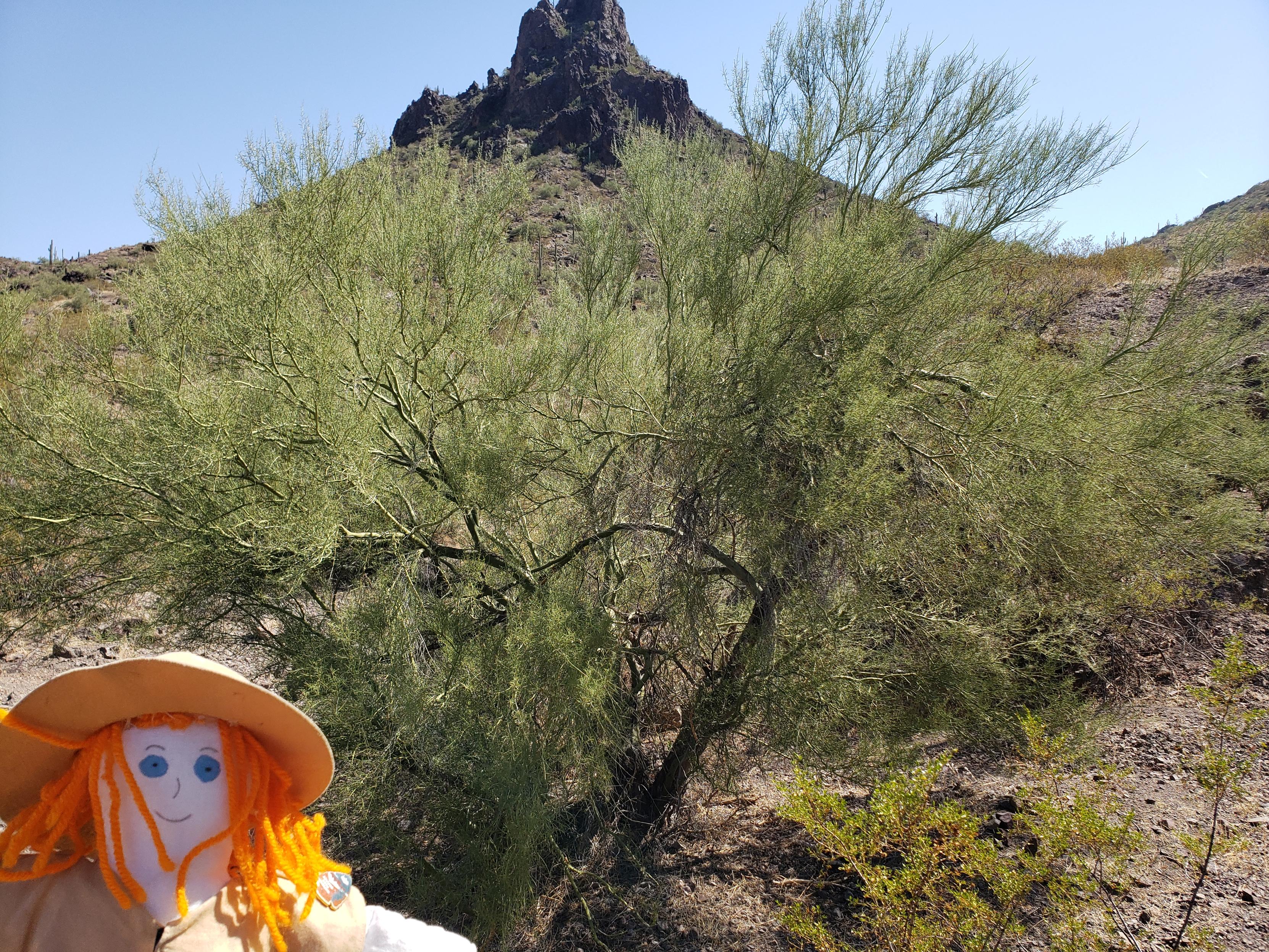
Ranger Sarah found a Foothill Palo Verde Tree (Parkinsonia microphylla). The Arizona State Tree. It is native to the deserts of the Southwestern United States, particularly in Arizona. The name "Palo Verde" means "green stick" in Spanish, a fitting name for a tree whose bark photosynthesizes, giving it a vibrant green hue.
— at Picacho Peak State Park.
Ranger Sarah starts down the Calloway Trail in Picacho Peak State Park, Arizona